
Getting around · 07:40
Crowd-sourced navigation
Every driver on the road becomes a traffic reporter for everyone else. That was the idea behind a free map of Israel that grew into Waze.
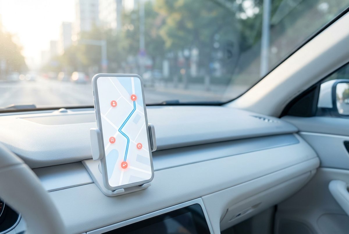
The everyday moment
You type in the office, and the app suggests a route that looks odd: a side street, a left turn you never take. It saves you twelve minutes. Somewhere ahead there's a crash, and the drivers who passed it a few minutes ago have already told the app.
How it works
- Your phone reports, quietlyWhile you drive with the app open, it sends your speed and position anonymously. Thousands of cars moving slowly on one road means a jam.
- Drivers add what they seePeople tap to report crashes, hazards, road works and fuel prices, and others confirm or clear the reports.
- Volunteers edit the mapRegistered users fix roads, turns and addresses in the Waze Map Editor, so the map improves wherever people drive.
- Route in real timeWaze mixes all of this with data from city and transport agencies and keeps recalculating the fastest way as conditions change.
The Israeli story
In 2006 programmer Ehud Shabtai started FreeMap Israel, a community project to build a free digital map of the country in Hebrew, drawn by its own users.
With Amir Shinar and Uri Levine he turned it into a company in 2008, renamed Waze Mobile in 2009. The bet was that a map made by drivers, updated by drivers, would beat maps made by surveyors. By the end of 2011 most of its 80 staff worked in Ra'anana.
By 2013 Waze had nearly 50 million users, and in June that year Google bought it for about $1.3 billion. The Waze team kept working in Israel as a separate unit.
Where you meet it today
Waze has an estimated 130 million users and runs in 50 languages. More than 450 cities and transport agencies trade data with it through Waze for Cities: they learn where traffic and potholes are, and drivers learn about closures before they hit them.
Did you know?
Waze's map is kept current by its own users: anyone registered can fix a road or a turn in the Waze Map Editor.